 Michael Hardy
 Late spring is one of the best times to drive California’s Highway 1, but the coast does not follow a simple tourist-season calendar. Fog, wet pavement, road work, and winter storm damage can change the trip from Monterey to Big Sur or San Simeon with little notice.
This is not legal advice — consult a licensed attorney. California traffic signs, posted closures, and parking restrictions control at every stop.
Which direction is best for the coast?
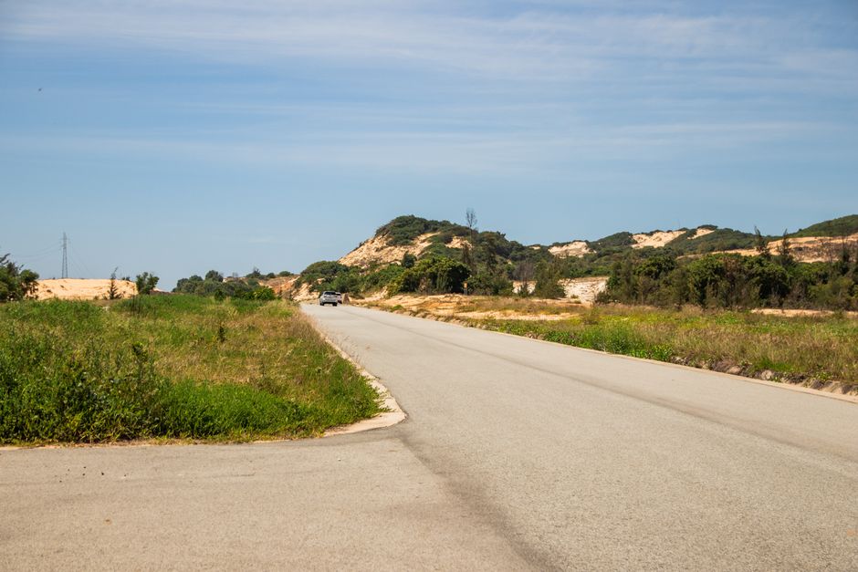
For a first visit, drive north to south when the full route is open. The ocean usually sits on the west side of the road, so the direction creates more natural access to coastal viewpoints and makes the visual sequence feel stronger. That does not give you permission to stop wherever the view looks good. Use marked pullouts and walk only where the surface and signs allow it.
Northbound and southbound tradeoffs
| Route direction | Best use | Main advantage | Main drawback |
|---|---|---|---|
| Monterey to Big Sur to San Simeon | First-time scenic drive | Ocean side is generally beside your lane | Popular pullouts can fill early |
| San Simeon to Big Sur to Monterey | Travelers starting near Los Angeles | Easy to finish near Monterey or San Francisco | Many viewpoints sit across the opposing lane |
| Monterey to Big Sur and back | Closure-risk or one-day plan | Lets you enjoy the open northern section without relying on a through-route | You will repeat the road south of Big Sur |
A practical two-day skeleton
On day one, leave Monterey or Carmel early, visit Point Lobos or Garrapata State Park, and spend the night near Big Sur if the road is open. On day two, continue toward Ragged Point and San Simeon, allowing time for McWay Falls viewpoints, short walks, and a fuel stop before the long southern stretch. The drive time alone is not the schedule. A 30-mile section can take much of a morning once traffic, viewpoints, and tight curves are included.
If a closure divides the coast, choose one side. A northern trip can run from Monterey to Big Sur and back. A southern trip can begin around Cambria or San Simeon and use U.S. 101 for the inland connection. Do not treat a navigation app’s suggested shortcut as permission to cross a signed closure.
How to plan each driving day
Use a checklist rather than a loose promise to “take it slow.” The road rewards preparation because services become less predictable once you leave Monterey and Carmel.
A six-step departure routine
- Check the road first. Review full closures, lane work, incidents, and cameras on Caltrans QuickMap. The service is a road-information tool, not a complete navigation system.
- Read the weather by segment. Compare Monterey, Big Sur, Cambria, and San Luis Obispo. One sunny forecast does not describe the whole coast.
- Start after visibility improves. Early driving avoids some traffic, but dense fog is a reason to wait, not a reason to rush.
- Fuel before the remote stretch. Top up in Monterey, Carmel, or Cambria. Carry water and food because a closed business or long line can remove the next option.
- Choose three planned stops. A viewpoint, a short walk, and a meal create a calmer day than trying to visit every turnout.
- Leave daylight for the last miles. Do not schedule the most technical coastal section after dinner. Curves, cyclists, wildlife, and fog are harder to manage in darkness.
What to carry in the car
Keep a charged phone, an offline map, a physical payment card, water, warm layers, sunglasses, and a small first-aid kit within reach. Download the route before leaving service. Tell someone outside the vehicle where you expect to sleep. If the car develops a warning light, unusual steering, or a damaged tire, stop at the next safe location and reassess. A scenic drive is not a test of endurance.
Give each day a fixed turnaround time. If the road is slower than expected, skip a viewpoint instead of extending the drive into darkness. That decision protects the trip’s best asset: enough attention left to drive the final miles carefully.
What can go wrong, and what should you do?
What if Highway 1 is closed near Big Sur?
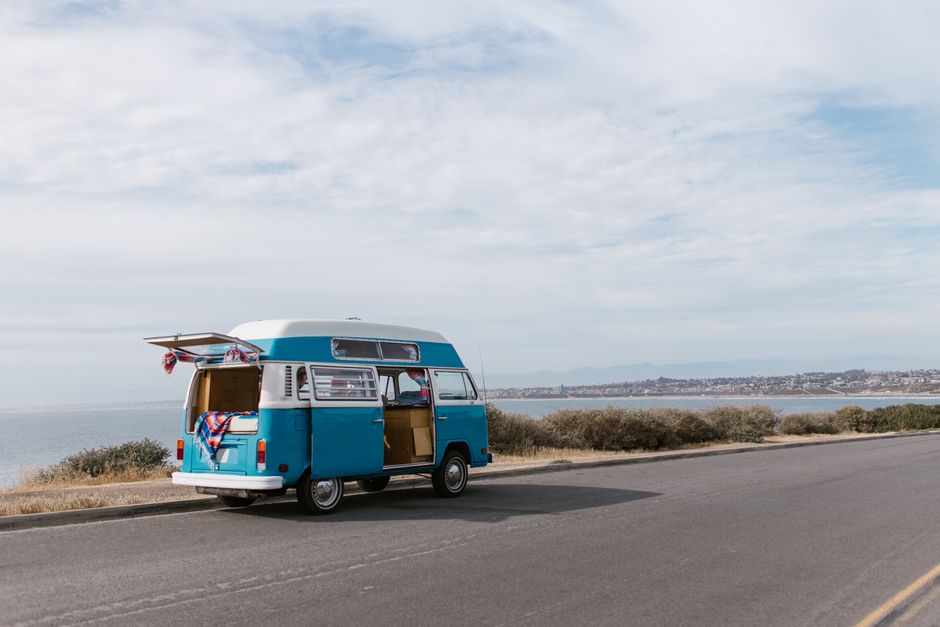
Turn around before the closure and use U.S. 101 for the inland connection when Caltrans identifies it as the approved alternate. If you are staying in Monterey, explore the northern section and return. If you are staying near San Simeon or Cambria, explore the southern section and return. A closure is not a scenic detour. It may involve unstable slopes, active equipment, or emergency operations.
What if fog covers Bixby Bridge?
Reduce speed smoothly, increase following distance, and avoid sudden braking. Do not stop on the shoulder unless the location is clearly intended for stopping and remains safe. If you cannot see the road edge or vehicles ahead, wait at a lawful pullout until visibility improves. The photograph is optional; the road is not.
What if the navigation app gives a faster shortcut?
Follow official signs and Caltrans information over an app’s estimated arrival time. Mapping software may show a local road that is narrow, restricted, unpaved, or unsuitable for a rental vehicle. QuickMap’s own guidance says it is not intended to replace navigation. Save the official road-status page before the drive so you can verify a change without depending on a weak coastal signal.
The most common failure is not bad weather. It is an overpacked schedule that leaves no room for a closure, a missed pullout, or a slow vehicle. Keep one flexible half-day in the plan.
Which car works best for this road?
For two adults with ordinary luggage, choose a compact hybrid or a normal midsize crossover, not a large SUV. Highway 1 rewards clear sightlines, easy parking, and predictable handling. Four-wheel drive does not make a closed road legal or turn a wet curve into a safe one.
Useful 2026 reference vehicles
These are manufacturer reference figures, not rental quotes. Rental companies may provide a similar vehicle rather than the exact trim. Inspect tire condition, confirm the spare or repair kit, and ask about roadside support before leaving the lot. A convertible is fun only when the roof, temperature, and luggage plan cooperate.
When not to choose the largest vehicle
Skip a full-size SUV if you have no need for its seats or cargo volume. It consumes more fuel, occupies more space at crowded viewpoints, and can feel cumbersome on narrow curves. Choose the Subaru Outback when extra cargo or ground clearance solves a real problem. Otherwise, the Toyota RAV4 Hybrid is the strongest practical pick for this route.
Where to stop and the best late-spring plan
The best late-spring plan is a two-day north-to-south drive with one flexible half-day reserved for road changes. Spend the first night near Big Sur only after confirming access. If the through-route is uncertain, make Monterey the base and drive south to the open section, then return before dark.
Stops worth prioritizing
Near Monterey, choose Point Lobos for short coastal walks and a calmer start. Around Big Sur, prioritize one major viewpoint and one trail rather than racing between every turnout. McWay Falls at Julia Pfeiffer Burns State Park is a strong visual stop, but access, parking, and trail conditions can change; check the California State Parks site before building the day around it. South of Big Sur, Ragged Point and the San Simeon area work well as reset points because they break up the long drive.
Final recommendation
Drive north to south in a compact hybrid, start after the worst morning fog has lifted, and keep the route to daylight hours. Check Caltrans on the morning of departure and again before entering Big Sur. If any closure threatens the connection, choose a one-sided out-and-back trip instead of forcing a through-drive. For most late-spring travelers in 2026, that plan offers the best balance of coastal views, manageable driving, and a realistic response to California’s changing road conditions.